
Last month, I responded to a reader question about water saturation through varied soil types. A follow-up question involved how to identify saturated soil conditions and whether those characteristics will occur at the boundary between those two soil layers. The answer is yes, with a few caveats. We should explore those soil characteristics again in the context of this question.
Soil scientists are interested in identifying characteristics in the soil that indicate whether the soil is saturated to a depth of 6 feet to identify soils that fall into a specific classification that defines their condition to other soil scientists. Aside from classifying soils, these characteristics are useful for identifying wetland soils for wetland delineation and zones of seasonal or periodic saturation in soil profiles to identify limiting soil layers for onsite sewage treatment.
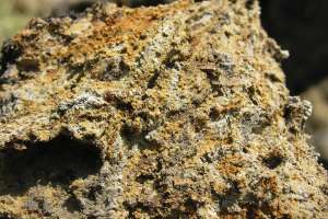
When a soil layer is saturated for an extended period, usually more than two weeks, iron that is present in the soil begins to go into solution due to some biochemical reactions. As the layer dries it leads to a distinctly mottled-color appearance. Iron is one of the chief coloring agents in soil and when it goes into solution it migrates with the water as the soil dries out. Areas where the iron left during the drying process are gray in color, while those areas where the iron moves to and accumulates become reddish in color.
A set of terms was created by soil scientists 20 years ago to define in great detail the depletions and concentrations. The overall name for this set of terms is redoximorphic features. If you look closely enough at these features, in some instances you can tell which way the water is moving. Recognizing the implications of these color patterns gives wastewater professionals the necessary information to determine where in the profile and what type of soil treatment component is appropriate for that site.
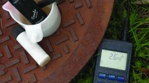
Soil scientists define these color changes using the Munsell color charts. With a little practice, a site evaluator, designer or installer can identify these most common color patterns. There are some exceptions to this typical pattern. Working with a soil scientist can be helpful to identify these exceptions for where you live.
When color patterns are identified at the boundary between the two soil layers, the issue for us becomes what to do about the presence when locating depth of allowable excavation. My preferred approach is to keep the maximum excavation depth at or above the required separation distance from the highest identifiable mottled color pattern. In Minnesota, the separation distance is 3 feet. Your state may have a different required separation distance. If this means that an aboveground mound or at-grade system needs to be installed, so be it.
A related question that I hear is: What if the evidence of color condition is confined to a few inches above the boundary layer? If the layer is less than 6 inches over the boundary, I am a little less concerned about slowing down the flow at the boundary and it may help treatment. But remember, if you are seeing those color differences under natural rainfall conditions, the height above the boundary will increase when we start loading wastewater into the profile. Maintaining the separation distance above the boundary is still the way to go.
In the case where a clay soil layer is located over the sand layer, there is a tendency for installers and designers to excavate through the clay into the sand. There are two problems with this approach. First, if we excavate into the sand there is a high potential for inadequate treatment of the effluent as it moves rapidly through the sand. Often this sand overlies or is part of a confined aquifer; we do not want to contaminate that water with sewage.
Second, we run the risk of our trenches creating a drainage condition for the clay soil above. During wet periods this results in the system being hydraulically overloaded due to soil water draining into the trenches. When this happens there is not only a lack of treatment, but the entire system can be washed out if the precipitation event is large enough.
Continue reading for free